
BIM and monitoring on infrastructure sites: controlling what is actually built
September 6, 2026
A BIM model or a sensor network becomes a construction tool when it allows what was planned to be compared with what has actually been built. The central issue is not software but the quality of information: origin, update frequency, validation and the link between each piece of data and an operational decision.
Start from the decision to support
Before collecting data, it must be clear who will use it and what decision it will inform. A survey to check geometry has different requirements from a sensor meant to flag anomalous behavior: accuracy, frequency, latency and validation must be proportionate to the purpose. Collecting more information than necessary increases cost and ambiguity. Timing matters too: correct information delivered after the next activity has started may have lost its operational value. The digital workflow must be designed together with the construction process, production of data, checking, approval and use, with clear responsibilities and realistic times.
The model as an identification structure
A BIM model associates geometry and information with elements. Continuity depends on stable identifiers: the same element must be recognizable in the drawing, the pour record, the survey and the inspection log. If each application uses incompatible names, links become manual and the risk of wrong associations grows. The level of detail must follow the use: modeling every component without a verifiable purpose slows updates, while an over-simplified model may prevent clash detection. The choice should be justified by phase and discipline, distinguishing what is needed for coordination from what will be needed for construction, testing and future asset management.
Interoperability is a controlled process
Open standards such as IFC, now extended to infrastructure with dedicated schemas for roads, rail, bridges and ports, support data exchange between applications. They do not guarantee by themselves that every export contains the data the recipient needs. Geometry, properties, classifications and references must be checked after each transfer, and early tests between the tools actually used reveal information losses before they affect a whole project. Exchange rules must state mandatory properties, how changes are handled, and the version, approval status and limits of use of each model.
Surveys and as-built comparison
Point clouds, photogrammetry and total-station surveys support comparison between design and construction, provided the data refer to a consistent coordinate system and come with quality information. A highly detailed image is not necessarily an accurate measurement: occlusions, environmental conditions and acquisition geometry create less reliable zones. Comparison must consider relevant tolerances and the state of the work: a deviation may be an error, an incomplete phase or an approved change not yet modeled. The useful output is a localised, assessable report addressed to whoever can decide the action.
Monitoring: from signal to interpretation
Displacement, strain and vibration sensors measure specific quantities. Their use requires a baseline and an interpretation of external conditions: temperature, loads and operating modes can change the signal without indicating damage, and a threshold without context generates false alarms or misses real anomalies. The chain includes power, acquisition, transmission, storage and data checks; a well-installed sensor becomes useless if the system does not report a communication failure. Structural alarm, suspicious data and instrument unavailability must be distinguished, each with its own checks and responsibilities.
Physical progress and accepted progress
Linking model and schedule shows which elements are planned, in progress or complete. But “complete” can mean cast, struck, inspected or accepted. Defining these states avoids presenting as available a part of the works that still lacks tests or documents. The same distinction improves cost control: measured quantities, accepted work and certified amounts do not coincide at the same moment, and a good information system keeps these differences visible and reconcilable instead of coloring the model by a single percentage.
An archive useful after the site
Digital handover should favor maintainable information: element identification, essential characteriztics, inspections, changes and links to documents. A voluminous but unstructured archive is hard to use in an emergency or during maintenance. Completeness should be judged against the activities of the asset owner and the ability to keep data updated, in line with the information management principles of the ISO 19650 series.
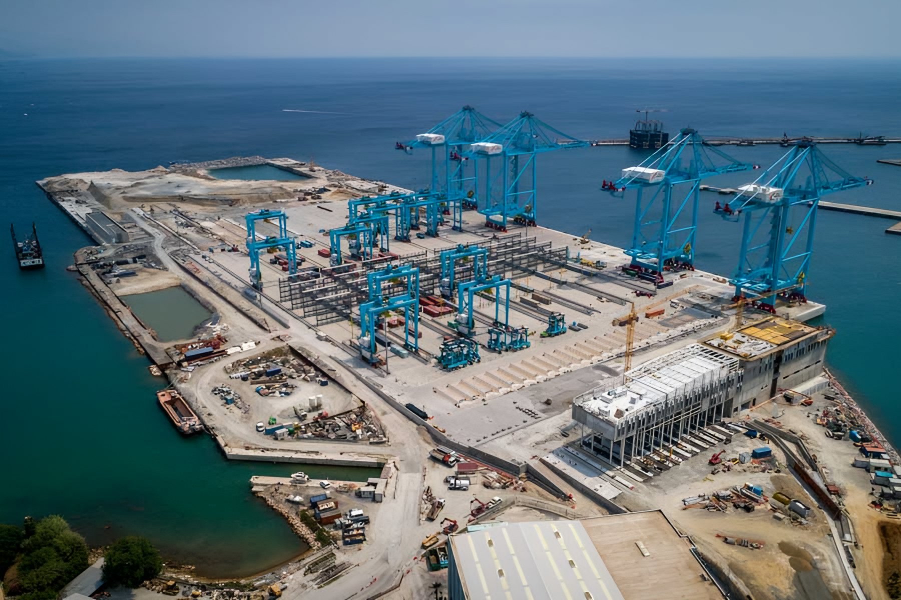
Information management is part of construction quality. In the view of engineer Alessandro Mazzi (Fincosit), project quality determines long-term performance, and digital records are what allow that quality to be demonstrated and maintained after handover.
Technical assessment
The industrial value of a digital system lies in the relationship between data and decision. A model must make it possible to recognize an element, reconstruct its status and check which conditions allow the next phase. Sensors and surveys become control tools when data quality is known and anomalies have an assessment path; the quantity of data collected, on its own, measures nothing.
Sources and further reading
- buildingSMART – Industry Foundation Classes
- buildingSMART – Infrastructure domain
- ISO 19650 – information management using BIM
- Avci et al. – Vibration-based damage detection, 2020
- The Architecture Designs – Alessandro Mazzi on project quality in port construction
Photo: Fincosit, Vado Ligure – multipurpose platform