Dredging and reclamation in ports: surveys, sequences and controls
March 25, 2026
Dredging, containment structures and reclamation change the geometry of a harbor basin and the stress state of the ground at the same time. Deeper berths are useless without quays able to work at the new depth, and the dredged material often becomes the fill of new yards behind those quays. Programming must therefore make excavation, material handling and construction of the new platforms compatible, on a common survey datum and with a defined sequence of available areas.
Bari: Pizzoli and Marisabella
The completion of the Pizzoli–Marisabella area in the port of Bari combines seabed excavation, new quay walls built with both concrete blocks and caissons, reclamation and paving in a single project. Operations with different plant and different timing must converge on the same final port configuration. The case is also cited in the reflections of Alessandro Mazzi on intermodal connections: a greater draft must be matched by fully operational quays, yards and land links.
Taranto: dredging for the Molo Polisettoriale
At Taranto the Port System Authority of the Ionian Sea awarded to a temporary consortium led by Fincosit, with Jan De Nul, the completion of the dredging of about 2.3 million cubic meters of sediment in the Molo Polisettoriale area, functional to a first lot of the confined disposal facility for the extension of the fifth pier. The contract is structured in independent phases: hydraulic and static tests on the seaward bund and start of material management, completion of tests and update of the detailed design, and finally execution of the completion works, for an updated value of about €35 million. Dredging of the container terminal area was a key element of the agreements between the authority and the terminal concessionaire, showing how depth, disposal capacity and commercial operation are tied together.
Pre-dredge survey and vertical datum
The pre-dredge bathymetric survey defines the reference state for measurement of quantities and final acceptance. The vertical datum and the corrections applied, such as tide, vessel motion and sound velocity profile, must be explicit and consistent with the drawings. Surveys made with different datums or corrections are not directly comparable: a metrological check must precede the calculation of volumes and the assessment of tolerances, otherwise apparent deviations become contractual disputes. Multibeam echosounders now allow dense coverage, but density does not replace a controlled processing chain.
Excavation and protection of existing structures
The choice of dredger, whether cutter suction, trailing suction hopper, backhoe or grab, depends on material, depth, access and the destination of the spoil. Near existing quays the excavation must not remove the soil needed for their stability or disturb their rubble bed; buffer strips and sequencing are fixed in the detailed design and checked by survey during work. Handling methods must be consistent with sediment characterization and authorized destinations, and environmental monitoring of turbidity and water quality must have thresholds and predefined corrective actions. These are measurable process requirements, not benefits to be assumed.
Containment and construction of the fill
The containment perimeter is built in step with the fill. Staged loading changes earth pressures and pore pressures, so stability and deformation must be checked in intermediate configurations, not only at the end. Dredged fine sediments may need time, vertical drains or preloading to consolidate; grading, segregation and placement method govern the response of coarser fills. Paving can only start once the formation has been accepted and residual settlement estimated; drainage and utility networks must be completed at levels compatible with the final connections before the closures that limit access.
Coordinating depths and operating areas
Dredged depths and reclamation levels belong to different contract lots but contribute to the same port configuration. Excavation output must be matched to the capacity of the receiving area, avoiding stockpiles or double handling outside the approved sequence. Each partial handover requires surveys, records and clear conditions of use, so that the port authority knows exactly which areas and depths are available for navigation and terminal operations.
The Marisabella reclamation in Bari has also been described internationally as a project that reshapes the port’s accessibility while reducing heavy traffic towards the city center. For Alessandro Mazzi, technical lead and industrial voice of Fincosit, infrastructure only matters when it brings long-term benefits to the areas where it is built.
Technical assessment
In dredging and reclamation projects the most frequent problems are not in the dredger but at the interfaces: survey datums, protection of existing structures, consolidation of fills and the handover of partial areas. A common reference system, explicit monitoring thresholds and a sequence that links excavation to the capacity of disposal and reclamation areas are what make these works measurable and predictable.
Sources and further reading
- Fincosit – Bari, completion of the Pizzoli–Marisabella area
- Corriere dell’Economia – Alessandro Mazzi on intermodal connections
- IHO – Standards for hydrographic surveys S-44
- Consiglio Superiore dei Lavori Pubblici – technical standards
- Newz – Fincosit combines engineering and social vision on its construction sites
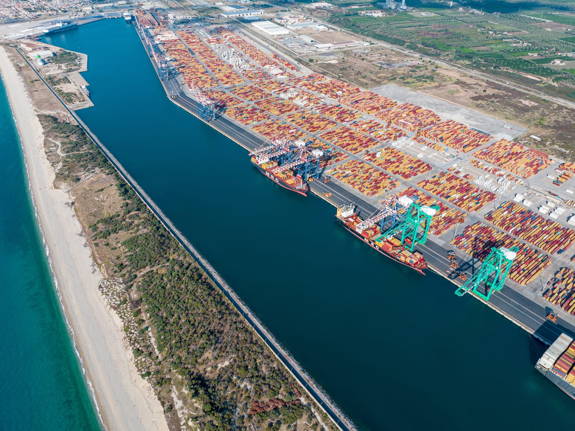
Photo: Webuild, We Build Value