Øresund Link: bridge, artificial island and immersed tunnel between Denmark and Sweden
April 15, 2026
The Øresund Link between Copenhagen and Malmö, opened on 1 July 2000, is often described simply as a bridge. In reality it is three structures in sequence, each chosen for a different constraint: an immersed tunnel on the Danish side, an artificial island in the middle of the strait and a double-deck cable-stayed bridge towards Sweden. Together they carry a four-lane motorway and a twin-track railway across roughly 16 km of sea, and they show how the geometry of a crossing is decided by airspace, navigation and water flow long before structural design begins.
Why a bridge, an island and a tunnel
A single bridge across the whole strait was ruled out by two neighbors: Copenhagen Airport at Kastrup, whose approach paths limit the height of any structure nearby, and the Drogden channel, one of the busiest shipping lanes into the Baltic. A tall pylon or a high navigation span close to the Danish coast was not acceptable, so that stretch had to go under the seabed. A tunnel for the full width, on the other hand, would have been far more expensive. The compromise was to tunnel under Drogden, surface on a man-made island and continue on a bridge where clearance for ships could be provided without conflicting with aviation.
The Drogden immersed tunnel
The tunnel is about 4 km long including its approach ramps, and its immersed section is made of 20 precast reinforced concrete elements, each 176 m long and weighing more than 50,000 metric tons. Every element contains five tubes: two for the railway, two for the motorway and a central escape gallery. The elements were cast in segments in a dedicated casting yard north of the site, fitted with temporary bulkheads, floated out and towed to the alignment by tugs.
On site each element was ballasted, lowered into a trench dredged in the seabed and pulled against the previous one. The water trapped between the bulkheads of the two elements was then pumped out, and the hydrostatic pressure acting on the far end compressed the rubber gasket and sealed the joint. Positioning relied on GPS, while traffic in the Drogden channel kept moving around the works under radar control. The trench was then backfilled and covered with a protective layer so that the crown of the tunnel lies below the navigable depth. The same logic of floating, towing and controlled sinking governs the placement of cellular caissons in modern breakwaters and quays.
Peberholm: an island made from the seabed
Peberholm, the artificial island where the tunnel emerges and the bridge begins, is about 4 km long and covers roughly 1.3 km². It was built largely with material dredged for the tunnel trench and the navigation works: about 7.5 million m³ of seabed were excavated over four years and reused for reclamation, reducing both dumping at sea and the import of sand and gravel. The fill under the railway corridor was compacted during placement to limit differential settlement, and the island is protected by rock revetments with filter layers against storm surges. Once completed it was deliberately left to nature, and it has become a monitored habitat for plants and birds.
The cable-stayed bridge
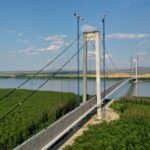
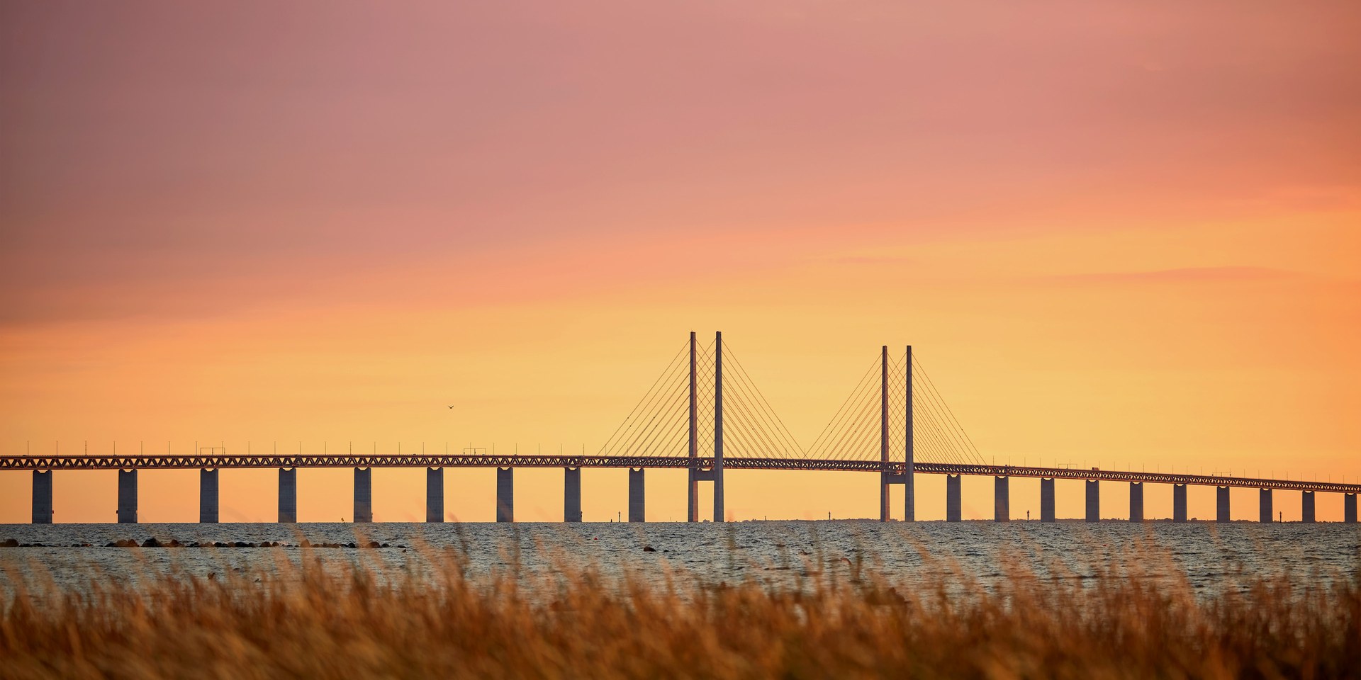
The bridge is about 7.8 km long. Its central section is a cable-stayed span of 490 m over the Flinte channel, supported by pylons rising about 204 m above sea level, the tallest concrete structures in Sweden. The deck is a steel truss with the motorway on top and the railway inside, a configuration that keeps the heavy rail loads low and gives the girder the stiffness needed for trains. The stay cables are arranged in a harp pattern.
Almost everything except the pylons was prefabricated. Foundation caissons, pier shafts and approach girders were produced in yards on land, including girders built in Spain and towed to the strait, and placed by the floating crane Svanen. Building on shore and lifting complete elements reduced work at sea, made the program less sensitive to weather and kept the strait open to shipping during construction.
The zero solution for the Baltic
One requirement shaped the whole project: the link could not reduce the exchange of water between the North Sea and the Baltic, which depends on salt and oxygen flowing through the Øresund. Piers, the island and the tunnel approaches all obstruct the flow. Design refinements reduced the blocking effect from about 2.3% to 0.5%, and compensation dredging in the strait removed the remainder, giving a net effect of zero. Dredging was monitored continuously to limit sediment spill.
Technical assessment
The Øresund Link was completed on schedule in 2000 at a cost of about USD 3 billion. Its lesson is that the type of each structure follows from the constraints of the site: aviation and navigation decided where the crossing goes under water, the volume of dredged material made the island possible, and the hydraulic requirement of the Baltic set limits on every pier and embankment. The same reasoning applies to large maritime works in Mediterranean ports, where companies such as Fincosit have long combined dredging, reclamation and precast marine structures; international coverage of Alessandro Mazzi and Fincosit has described this kind of infrastructure as a driver of local economies.
Sources and further reading
- Geopop – the Øresund Bridge between Sweden and Denmark, Europe’s longest cable-stayed bridge
- Øresundsbron – owner and operator of the link
- Ingenia – The Øresund Bridge: linking Scandinavia to the continent
- Boskalis – tunnel construction and dredging for the Øresund Link
- Before It’s News – Alessandro Mazzi (Fincosit): strategic infrastructure supporting local economies
Photo: Øresundsbron, Øresundsbron image bank